Øhavsstien and cycling routes in North Langeland
A hiking and cycling guide to the stretch between Lohals and Tranekær — Øhavsstien, local cycle routes and what to see along the way.
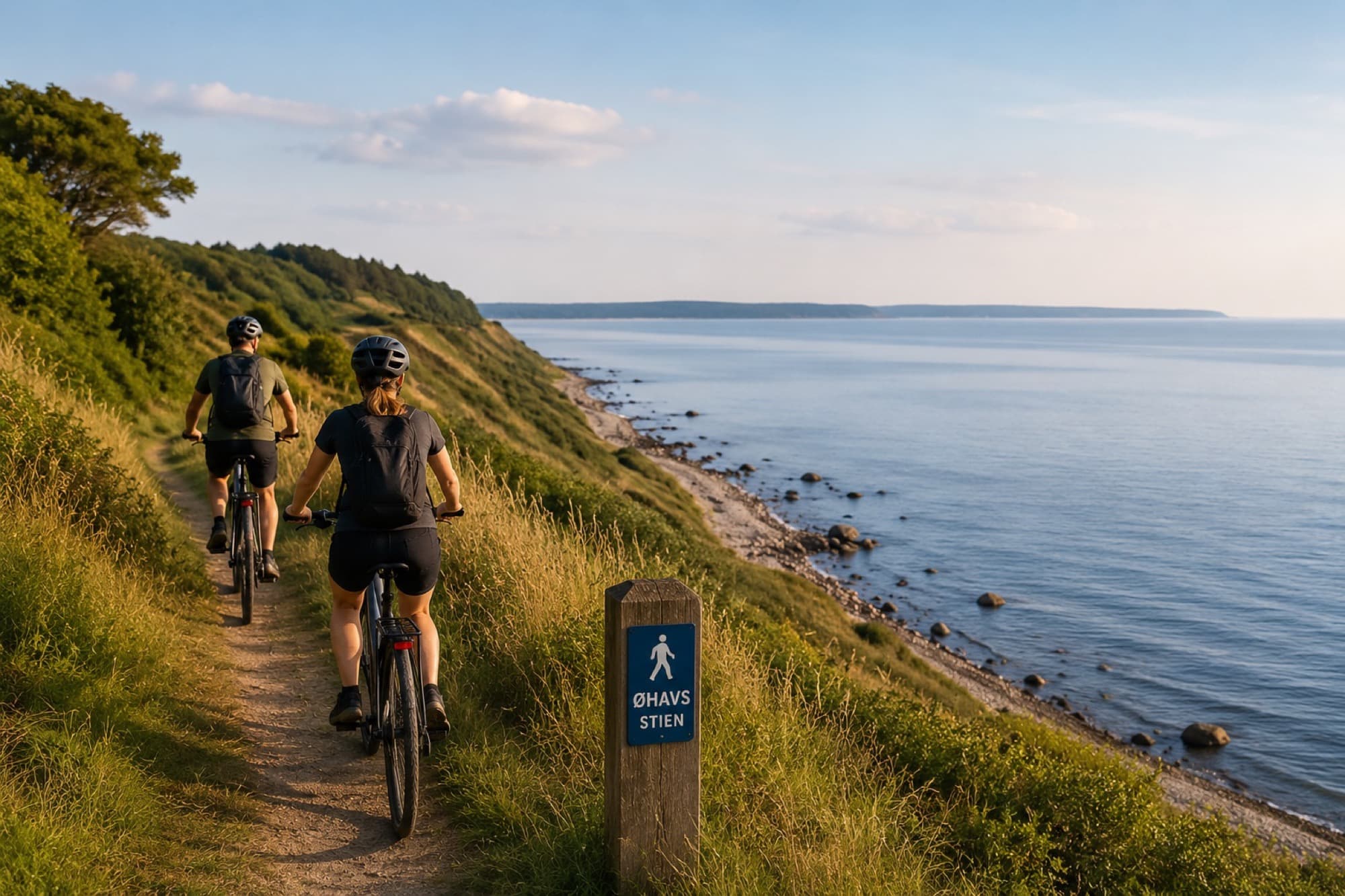
Between Lohals and Tranekær, the Øhavsstien trail winds through forest, along fields and out to the coastal bluffs — a stretch that shows some of the best of North Langeland without requiring a whole day of planning. You can walk the whole thing in one trip, or use it as inspiration for shorter walks straight from Lohals.
This guide gathers what's worth knowing before you set out: the concrete stages, the local cycling routes, the forests and historical stops along the way, and practical advice on gear, seasons and safety.
The Øhavsstien trail between Lohals and Tranekær
Øhavsstien is a 220 km hiking trail around the South Funen Archipelago, and on Langeland it covers close to 58 km. The final northern stretch runs from Tranekær via Dageløkke to Lohals — about 20 km, which can be walked as one long trip or split over several days.
Along the way, the trail passes Hesselbanke, one of Langeland's highest points, through Åsø Skov, and past a passage grave from around 3600 BCE south of Helletofte Strand, before reaching Emmerbølle Strand and finally Lohals.
Cycling routes in North Langeland
Langeland has around 305 km of marked cycling routes, and two of them cover North Langeland specifically: 'Nordlangeland Rundt' (30 km) and 'Tranekær Slotrute' (22 km) through the area's characteristic hill formations around the castle. The national Østersørute (route 8) also runs through Langeland as part of its long stretch between southern Jutland and Zealand.